Preface
The advancement of science and technology has made great changes in people’s lives. With the rapid economic development, people are paying more and more attention to the protection of resources and the environment. The development of space information technology has fully guaranteed the protection of resources.
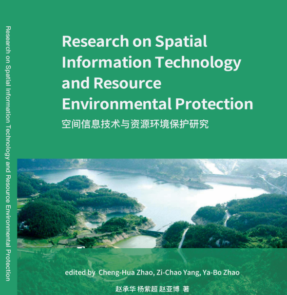
This book mainly describes related research on space information technology and resource environmental protection. Through the introduction of the related concepts, components and core technologies of the spatial information system, readers have a preliminary understanding of the spatial information system. Through the introduction of environmental spatial information management, readers can understand the concept, composition and function of geographic information. Starting from the spatial acquisition of environmental information, readers have a deep understanding of the principles of environmental information and the processing of images and models. This book introduces the principles and information processing methods of remote sensing technology, which makes readers more directly see the impact of remote sensing technology on people. Readers can learn more about the development of navigation technology by the introduction of the composition and positioning principles of the global positioning system. The editor introduces the relevant content of the resource and environmental information database, and further finds the application of space information technology in natural resources protection. Monitoring and prevention of environmental disasters can be achieved by remote sensing technology. Global positioning system can provide certain technical and theoretical support for ecological environment protection. With the development of science and technology, the role of geographic information system in environmental protection is becoming more and more obvious. While providing help to people, it can better ensure a good cycle of resource and environmental systems.
前 言
科技的进步使得人们生活发生了巨大改变,经济高速发展的今天,人们越来越多地关注到资源环境的保护中,空间信息技术的发展使得资源环境保护得到了充分地保障。
本书主要讲述了关于空间信息技术和资源环境保护的相关研究,通过空间信息系统相关概念、组成和核心技术的介绍,来对空间信息系统有一个初步的认识。通过对环境空间信息管理的介绍,来了解地理信息的概念、组成、功能。从环境信息的空间获取出发,对环境信息的原理和图像、模型处理进行深入的理解。本书介绍了遥感技术的原理和信息处理方式,可以更直观地看到遥感技术带给人们的影响。通过对全球定位系统构成和定位原理的介绍,使大家更多地了解导航技术的发展。我们对资源环境信息数据库相关内容的介绍,进一步找到空间信息技术在自然资源环境保护中的应用。通过遥感技术,我们能够实现对环境灾害的监控和防治工作。全球定位系统能为生态环境保护提供一定的技术、理论支持。随着科技的发展,地理信息系统在环境保护中的作用也越来越明显,它在为人们提供帮助的同时,能更好地保证资源环境系统的良好循环。

Cheng-Hua Zhao, male, the Han nationality, master’s degree, born in Alxa Left Banner of Inner Mongolia in February 1986. His published papers include “Retrieval of Soil Moisture in Inner Mongolia Using MODIS Data and Temperature Vegetation Drought Index”(EI), “Comparative Analysis of Multiple Drought Monitoring Methods Based on MODIS Data on Xilin Gol Grassland” and “Retrieval of Soil Moisture in Mongolian Plateau Using MODIS Data and Temperature Vegetation Drought Index (TVDI) Method”.
赵承华,男,汉族,1986 年2 月生,内蒙古阿拉善左旗人,硕士研究生。发表论文《Retrieval of soil moisture in Inner Mongolia using MODIS data and temperature vegetation drought index》(EI)、《基于MODIS 数据的多种干旱监测方法在锡林郭勒草地上的对比分析》《Retrieval of soil moisture in Mongolian Plateau using MODIS data and temperature vegetation drought index (TVDI) method》。

Zi-Chao Yang, female, the Mongolian nationality, bachelor of literature, environmental monitoring engineer, born in Alxa Left Banner of Inner Mongolia in February 1988. “Spatial Distribution Characteristics of Sand and Dust Weather in Alxa League from 1961 to 2014” she published has won the third prize of Excellent Papers of the 11th Inner Mongolia Autonomous Region Natural Science Annual Conference and second prize of Alxa League Natural Science Excellent Papers (2015).
杨紫超,女,蒙古族,1988 年2 月生,内蒙古阿拉善左旗人,大学本科学历,文学学士,环境监测工程师职称。发表论文《1961-2014 年阿拉善盟沙尘天气空间分布特征》荣获第十一届内蒙古自治区自然科学学术年会优秀论文三等奖,2015 年阿拉善盟自然科学优秀论文二等奖。

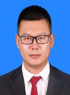
Ya-Bo Zhao, male, the Han nationality, BEng, BSc Economics, born in Alxa Left Banner of Inner Mongolia in September 1990. He joined the work in July 2013, and participated in the completion of several surveying and mapping engineering projects, mainly including the Digital “Alxa League” Geospatial Framework Phase I Construction Project, the Digital “Alxa League” Geospatial Framework Phase II Construction Project, and th Slope of Oronprague Peak and Weathering Peeling Monitoring. He has independently completed the measurement and drawing of multiple topographic maps, and has rich practical experience in GPS measurement and deformation monitoring engineering.
赵亚博,男,汉族,1990 年9 月出生于内蒙古阿拉善盟左旗,大学本科学历,取得工学学士学位、经济学学士,于2013 年7 月正式参加工作。先后参加完成了多个测绘工程项目,主要有数字“阿拉善”地理空间框架一期建设项目、数字“阿拉善”地理空间框架二期建设项目、敖伦布拉格神根峰倾斜度及风化剥落监测等项目,独立完成了多个地形图测量绘制工作,有着较为丰富的GPS 测量和变形监测工程实践经验。